Projects

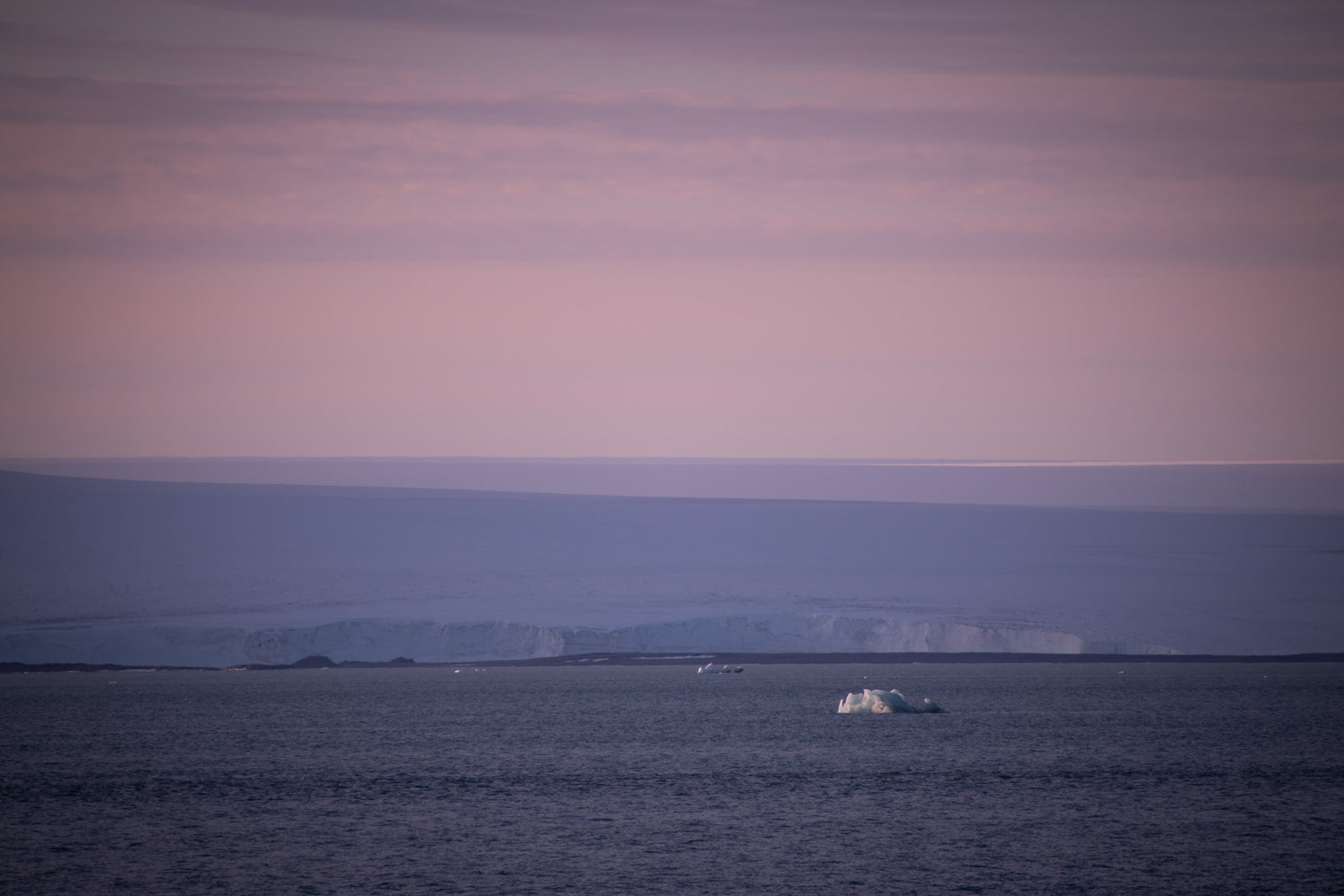
Documenting Climate Change in the Norwegian Arctic
Thanks to generous funding from the Noland family through the Noland Fellowship, two weeks were spent in the Arctic studying polar bears, walruses, and local seabirds. Additionally, interviews were conducted with several of the scientists aboard.
Extensive detail can be found on the project website:
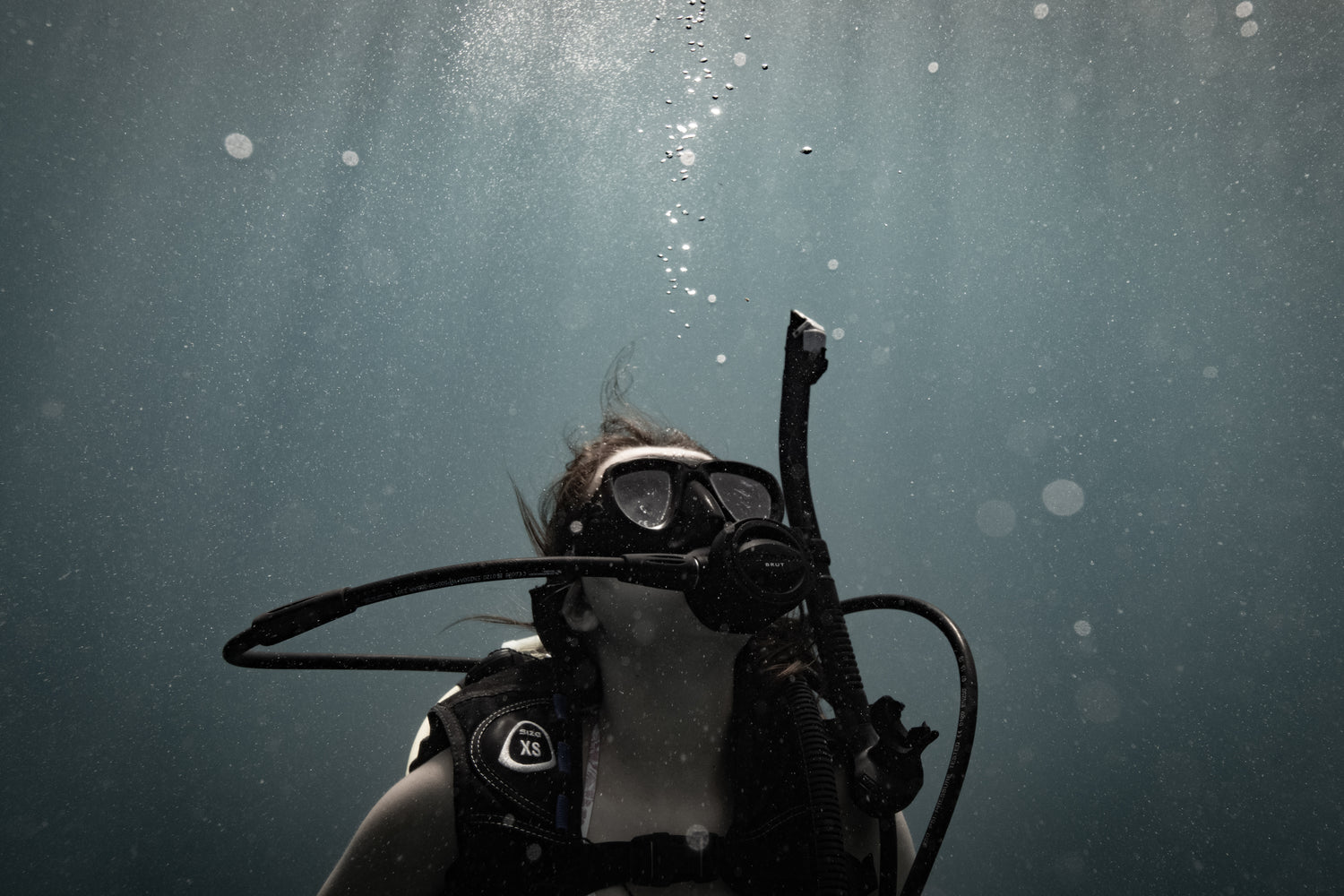
Marine Biology Work in the BVI
SCUBA-based research in the Caribbean, including both a deep dive into the effects of CO₂, O₂, and Nitrates on coral composition and turtle tagging + checkup efforts.
The primary project – looking into coral makeup depending on levels of certain molecules in the surrounding water – included taking water samples from and laying numerous quadrats across several dive sites, using underwater cameras to record each quadrat, and finally analysis of the coral and water makeup (hard coral, soft coral, spongy coral, or other – such as sand, rock, or seagrass).
Turtle checkup and tagging efforts included trawl line spotting and free diving to catch turtles, microchipping, size measurements, analyzing shell health, and ensuring growths were not present.
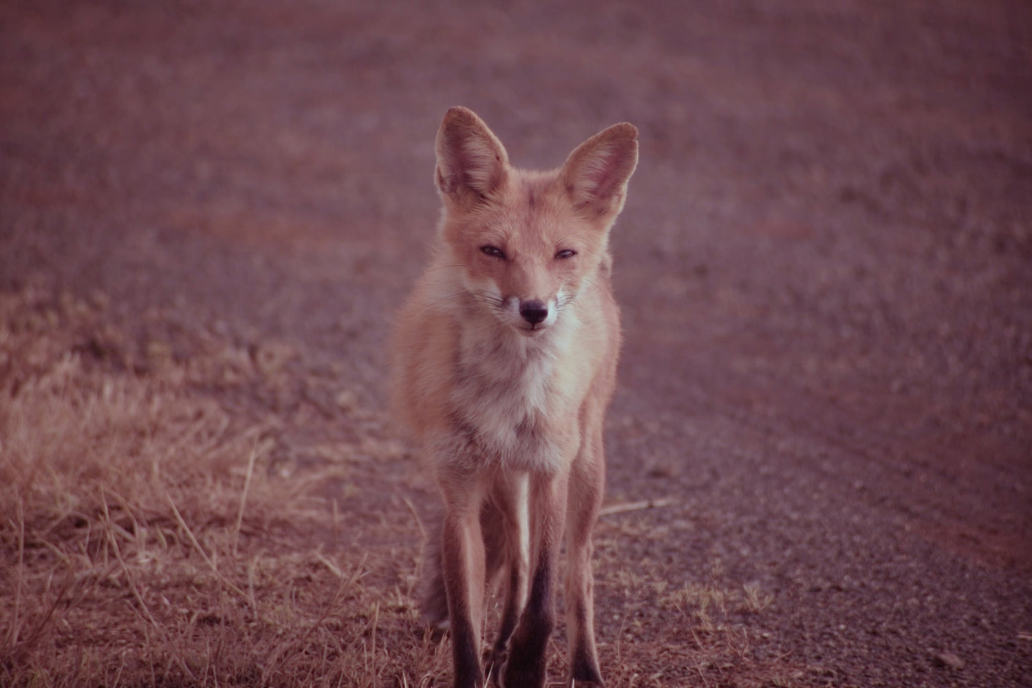
Red Fox, Salamander, and Beaver Research in Central Virginia
The study of fox, salamander, and beaver populations across 1600 acre campus was made possible through a school senior research program. The main goal was to map and determine the health of the study organisms mentioned above with help from several interesting techniques.
First, a remotely controlled camera rover fitted with hardware for infarred (nightvision) and daylight imaging was built to study the fox behavior and explore dens.
Second, several camera traps were set up all throughout the survey area to better study behavior and identify key behaviors.
Finally, night vision scopes were used during our nightly excursions over the two-month study period to better find and study the target organisms.
All of our imaging and observations (and associated geolocation data) were used to develop a report on organism health and an interactive ArcGIS map of all sightings and key locations, such as dens or lodges.
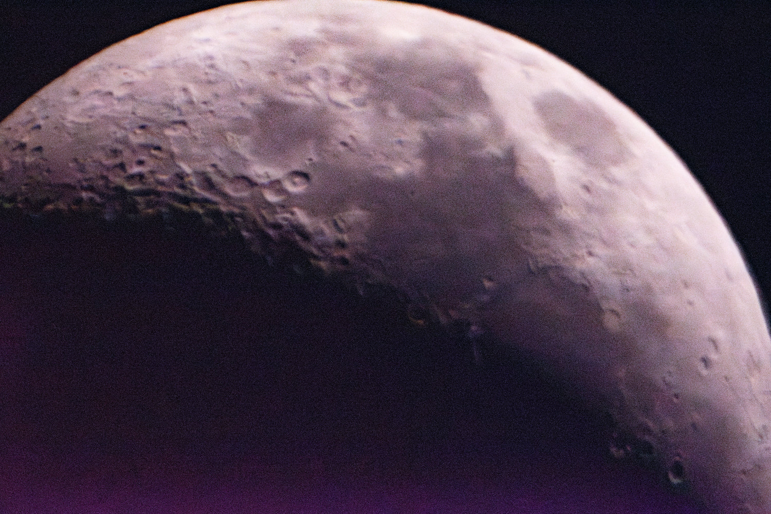
Mapping the Moon
As part of a US international young physicists’ tournament project, several months of daily 800 MB moon images were taken. In conjunction with sun, earth, and moon location data, these images were used to produce a lunar elevation map, which included hundreds of craters, mountains, and other surface features. The imaging and processing techniques, combined with our modeling methods, produced resolutions on par with NASA models and were only exceeded by satellite-housed lidar measurements.